


Topographical Surveys in London: Mapping the Details of Your Land
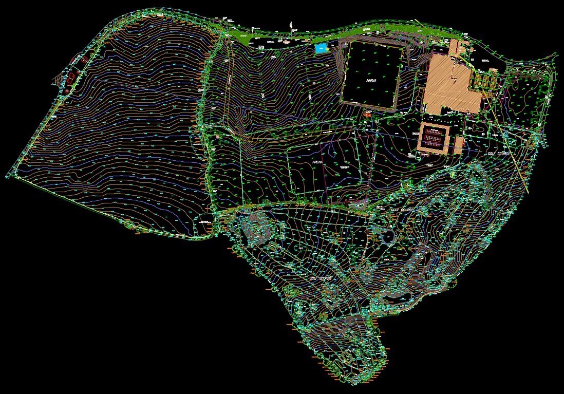
A topographical survey is a crucial process for capturing the intricate details of both man-made and natural features within a specific area of land, especially in diverse landscapes like London. At MB Survey Solutions, we specialise in topographical surveys in London, transforming raw data into clear depictions that highlight permanent features such as buildings, trees, hedge lines, service covers/manholes, fences, and any clear boundaries.
Our topographical surveys in London meticulously record the footprint of any existing buildings or structures. We provide a detailed grid of ground levels, accompanied by a clear description of ground surfaces, tree species and sizes, as well as any identifiable service information. This comprehensive approach ensures that all relevant spot levels are collected. Additionally, we can add contours to these topographical surveys, offering a clear understanding of the site's terrain in London.
Whether it's for construction planning, environmental assessment, or landscape design, our topographical surveys in London provide the essential data needed to understand and utilise your land effectively.