Point Cloud Surveys
What is a point cloud?
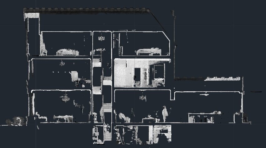
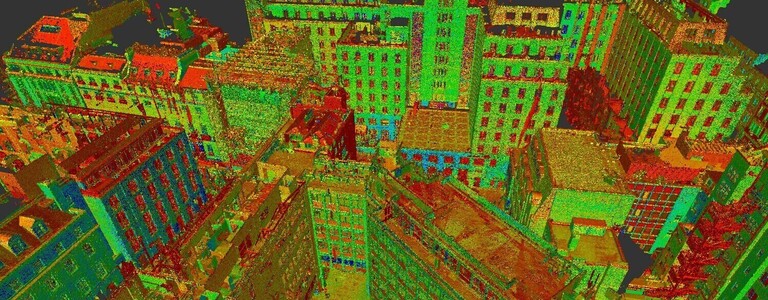
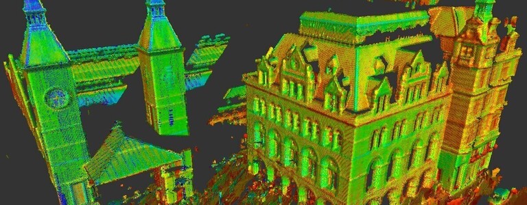
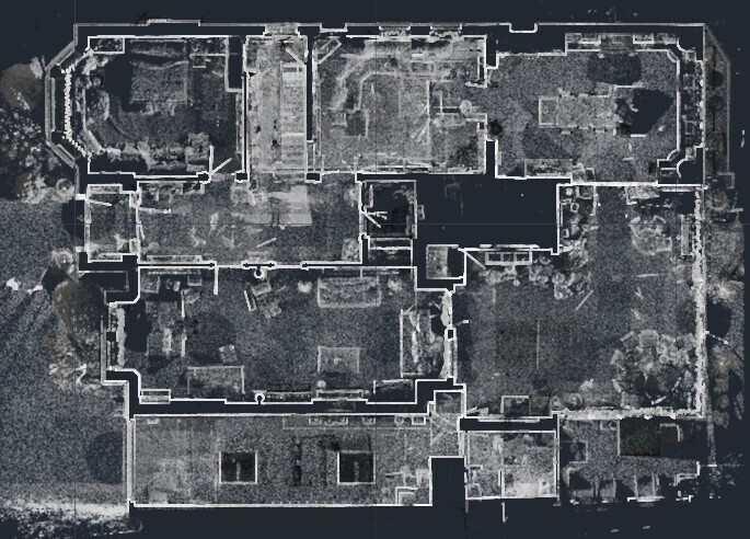
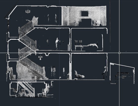
A point cloud is a set of 3D coordinated data points, each one with an X, Y and Z value accumulated from the process of 3D scanning. Millions of these data points are captured on site for every scan completed and are then collated using office software such as Scene or Trimble Realworks. Each point recorded represents a specific location on the surface of an object or face within a space. Once the data is collated and the point cloud is built it will form a scaled full-replica of the property providing us with a spatial snapshot of spaces or entire buildings which can then be exported to various draughting software such as autoCAD where our draughtsman can interrogate the cloud, slicing in it in all planes allowing us to plot floor plans, sections and elevations from the cloud with ease.
How is a point cloud generated
3D point cloud data is captured on site using 3D laser scanners from technology such as Faro, Trimble or Leica. A laser scanner uses laser technology to capture precise detail on shapes of objects or faces within a space capturing critical dimensional information. Each point is recorded on the surface of any object or face within each scans remit as the laser scanner emits an invisible infrared beam which is returned to the scanner once it hits a surface. Numerous scans are taken within a space, with overlap of previous scan data allowing the office software to use algorithms to identify common overlapping data which allows each scan to be tied together and the data from each scan to be accurately merged to form the final point cloud.
