


What kind of equipment do you use?
posted 9th August 2024
As surveyors, we use a variety of tools, used to measure and assess existing sites to plots of land for construction projects.
What Do Surveyors Do?
MB Survey Solutions assesses plots of land and other sites to support construction projects. We measure the shape and dimensions of the property, gathering essential data, developing maps, and identifying any construction or engineering risks. We monitor land movements, identifying how they will impact engineering projects.
We use Cad software, geographical information systems, satellite photographs, and more to carry out your survey to the finest quality, offering accurate data you can trust.
What kind of equipment do surveyors use?
As surveyors, we have a number of tools in our arsenal, ensuring we provide you with high quality and accurate surveys, bespoke to your needs. Every site, we have worked on, has been unique, therefore we use a choice of equipment, ensuring we provide the best results:
3D Laser Scanners
3D laser scanners are vital tools in the surveying industry. It helps to measure horizontal and vertical angles. It looks similar to a telescope or camera that sits on a tripod. We use it to measure distances of a building, providing us with precise data points. This is state of the art technology and the scanner is able to capture thousands of data points a second to high precision. This enables us to provide you with accurate floor plans, elevations, and cross sections.
Global Positioning Systems (GPS)
We use GPS to accurately locate areas in relation to each other. It helps receive information, providing us with location co-ordinates. This is used to map areas and ensure we have the accurate co-ordinates at hand, which we find essential when mapping plots of land. We use hand-held receivers, which provide us with accurate co-ordinates, we can then use to complete the survey you have selected.
Drones
Drones have recently been introduced to the surveying industry and have quickly become valuable items that we use to provide us with aerial photography of your plot of land or building. These aerial photographs are then used in measuring, known as a professional drone pilot in 6 steps
Surveyor's Level
We may use a surveyor's level when carrying out topographical surveys. They help us establish points on a vertical plane, measuring the difference in height for uneven plots. It comprises of a telescope with a fixed horizontal angle, set on a tripod.
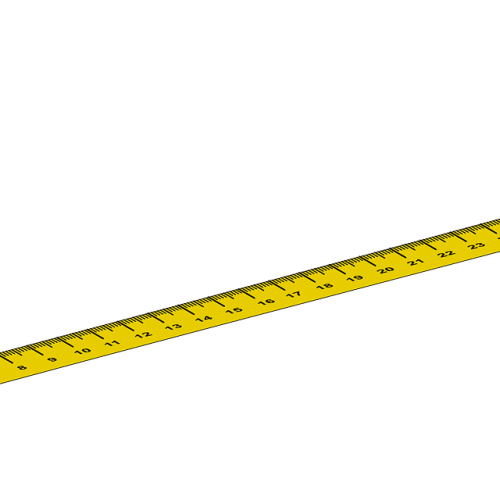
Levelling Staff
In some cases, we use a levelling staff, to measure height differences. We may do this in conjunction with a 3D laser scanner, to ensure accuracy. Levelling staffs look like giant rulers,
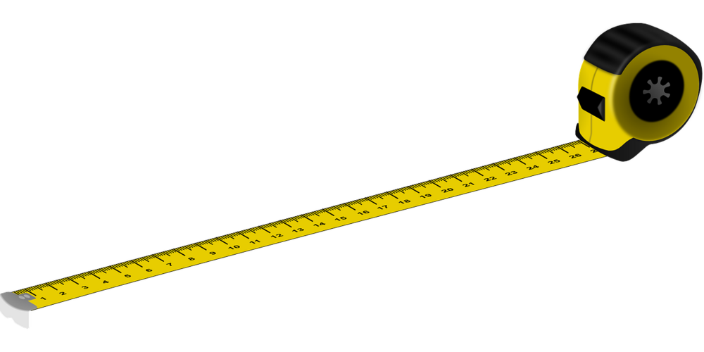
Measuring Wheels
Measuring wheels are wheels with a pole in the centre. There is a small device attached to the handle. It helps us measure distances. The wheel clicks per rotation, counting the number of rotations over a given distance and then calculating it. We sometimes use measuring wheels to measure the distance between two points.
Compass
We use a compass to give us direction, often used in conjunction with our 3D laser scanners. It helps us map out distances and angles.
Conclusion
At MB Survey Solutions we have extensive experience using state of the art equipment, helping us provide you with accurate surveys you can use in your construction project with confidence. Sometimes we will only use one piece of equipment, while other times, you will see us using a variety of different tools. Every site is unique and sometimes they need different tools to provide you with the precise data you need for your project to go ahead on time and as planned.