


What are the advantages of 3D laser scanning over traditional surveying methods?
posted 17th September 2024
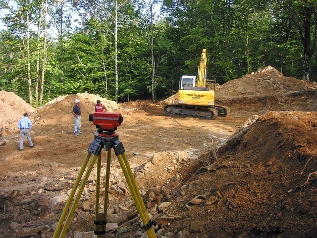
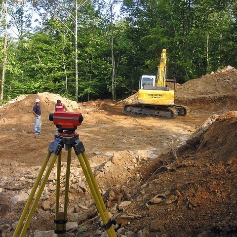
Surveying has been an essential part of land development, engineering projects, and construction for years. In the beginning, surveyors relied on GPS receivers and total stations to gather data for projects, however new advancements in technology introduced 3D laser scanners, that revolutionised the surveying world.
Efficient and Fast
One of the major benefits to 3D laser scanning over traditional surveying methods is how fast we can collect data, reducing our time on-site and speeding up the delivery of your survey drawings. Laser scanners capture thousands of points a second, enabling us to collect data across a large area in a fraction of the time it would take using traditional methods.
Studies have shown that laser scanning can reduce data collection by fifty percent. This reduces the timeline of the survey, along with overall costs.
Precise and Accurate
Precision is vital to the success of your project and this is where 3D laser scanning comes out on top. The scanner generates data sets with outstanding accuracy, often down to the last millimetre. The high level of precision remains consistent, unaffected by the complexity of the terrain or any environmental factors.
Traditional surveying methods, on the other hand, are prone to errors from manual instrument alignment to calibration, not to mention the unpredictability of the UK weather.
Comprehensive Data Capturing
Another of the major advantages of 3D laser scanning when compared to traditional surveying methods is its ability to capture intricate details on the site. Traditional methods were challenging when it came to measuring irregular terrain and hard to reach areas. 3D laser scanning captures a comprehensive and detailed representation of the structure or site.
Accessibility and Safety
Safety is important when it comes to surveying, especially when our surveyors are working in hazardous environments. Traditional surveying methods required surveyors to physically access these hazardous area, exposing them to dangerous conditions. 3D laser scanning eliminates these risks, as our surveyors can capture data remotely without having to physically access dangerous areas.
Precise Data Models
In addition to the excellent speed, accuracy, and level of detail provided by 3D laser scanners, they are able to create precise data models. Laser scanning produces highly detailed point clouds, which are used to create accurate 3D representations of the surveyed area.
These models become invaluable resources for architects, engineers, and designers, aiding them in the planning and execution of construction or renovation projects. 3D laser scanning has proven effective in preserving cultural heritage, allowing for the documentation and preservation of historical sites and structures.
Conclusion
As technology continues to evolve, 3D laser scanning has become more prominent n the surveying industry, offering outstanding accuracy, level of detail, and speed. Traditional methods are still important, but the benefits of 3D laser scanning is impossible to ignore. If you would like to know how our 3D laser scanning services can benefit your construction project, please feel free to contact the MB Survey Solutions team today.