


What are Point Clouds Used For?
posted 26th June 2024
Thanks to advancements in technology, LIDAR (Light, Detection and Ranging) technology has become more accessible, making it easier for surveyors to conduct accurate surveys of land, building, and more. For those that do not understand the technology, it can be difficult to fully understand what point clouds are and how they are used.
What Are Point Clouds?
Let's get straight into it. Point clouds are detailed digital representations of a 3D object. This can be a building, piece of land, product, historical site, or just about anything that is 3D. Point clouds are created by 3D scanners, photogrammetric software, and LIDAR, that measures the x, y, and z coordinates of thousands of points on the surface of an object.
Each point provides valuable information about the shape and structure of the object. When using colour values to the point, they provide a picture on each value. Point clouds are used in a variety of applications from enhancing driver assistance systems, creating detailed 3D models, to guiding robots.
Benefits Point Cloud Surveys
Point cloud surveys are mapping techniques that offer numerous benefits when compared to older traditional surveying methods. They offer outstanding benefits, including:
Outstanding Precision
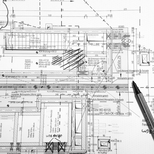
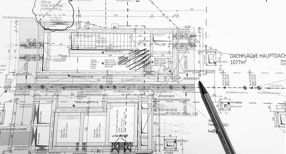
Point cloud surveys offer outstanding accuracy, down to 2mm. It reduces the risk of errors in mapping, ensuring timely issue resolution, saving valuable money and energy, along with ensuring cost control.
Excellent Efficiency
Traditional surveys used to take hours, if not days. Point cloud surveys can complete the survey in the shortest period of time, reducing disruption and providing accurate and vital design data. The scanners are able to capture millions of data points a second.
Detailed Data Capturing
This type of survey is able to capture detailed data, from colours and intensity to geometry. It provides comprehensive data for numerous purposes from archaeological research to building assessments.
Improved Visualisation
3D point clouds provides an interactive visualisation, enabling professionals to analyse structures and environments from a variety of angles.
What Can Point Clouds Be Used For?
Point cloud data is versatile, used in a variety of applications in a host of fields, including:
- Mapping and surveying offering detailed 3D maps of landscapes and buildings
- Disaster modelling to identify flood risk, landslide predictions, damage assessment, terrain assessments, and search and rescue operations
- Forestry management by seeing trees with plants below, the ground, health monitoring, identifying replanting areas
- Urban planning is made easier with point clouds with 3D models of roads, buildings, and more.
LIDAR and Point Clouds
LIDAR technology plays a vital role in creating point clouds. This technology sends out laser pulses, measuring how long it takes for the pulse to bounce off the object surface and return to the sensor. These accurate results are called LIDAR data that comprises of accurate 3D information that are represented as a set of coordinates. It does not contain colour information.
It is excellent at capturing geometry, making it the preferred choice when it comes to accuracy. Point clouds, on the other hand, are the actual digital representation of the data that has been captured through LIDAR.
How are Point Clouds Captured?
This is a very sophisticated process requiring advanced equipment, specialised technologies, and data processing methods. LIDAR uses pulses from various directions to cover an area of interest. The pulses bounce off objects, sending accurate information back to the sensors. The sensor measures how long it takes the pulse to travel to and from the object. It can capture thousands, if not millions, of pulses per second.
Conclusion
Point Clouds are vital for building projects, providing accurate data regarding the land, identifying obstacles and risks, before the planning stages of the build. This high-tech solution has become common throughout the world, an alternative to outdated traditional surveying methods, providing precise data with a 2mm accuracy.