


How do underground utility surveys work?
posted 9th October 2024
Underground utility surveys are used to check for underground pipes or working that may be related to water, power, drainage, gas, telecommunications, or fibre optics that sit below your property. This is to ensure there services are not compromised during your building project. It is essential, reducing the risk for developers, construction teams, engineers, and the utility owners. It helps to reduce costs and unnecessary project delays, not to mention mitigating the risk of damaging third party assets.
The professional MB Survey Solutions team of surveys have a proven track record in providing high quality underground utility surveys for many construction projects in both the private and public sectors.
Why Are Utility Surveys Important?
There is less and less space for new builds in the UK, which is why there is such a high demand on architects to ensure they design your new build effectively. With an underground utility survey, they can maximise the space of the land without damaging or interfering with third party assets.
The MB Survey Solutions team are experienced in providing you with accurate and updated site plans, mapping out both natural and man made features, helping you build with confidence. We use the latest technologies and tools to provide you with the best survey results. Our underground utility surveys can be produced in 2D drawings or 3D model drawings, along with sectional views, photography, and more. We supply them to you in a PDF format which is easy to open and share with your architects and construction team.
Benefits of Underground Utility Surveys
- Provides a record for any future developments, extensions, or renovations
- Provides existing as-built records
- Reduces the risk of utility damage
- Mitigates the risk of project delays
- Saves money and time
- Improves safety for workers
- Helps you plan utility diversions
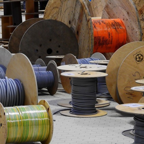
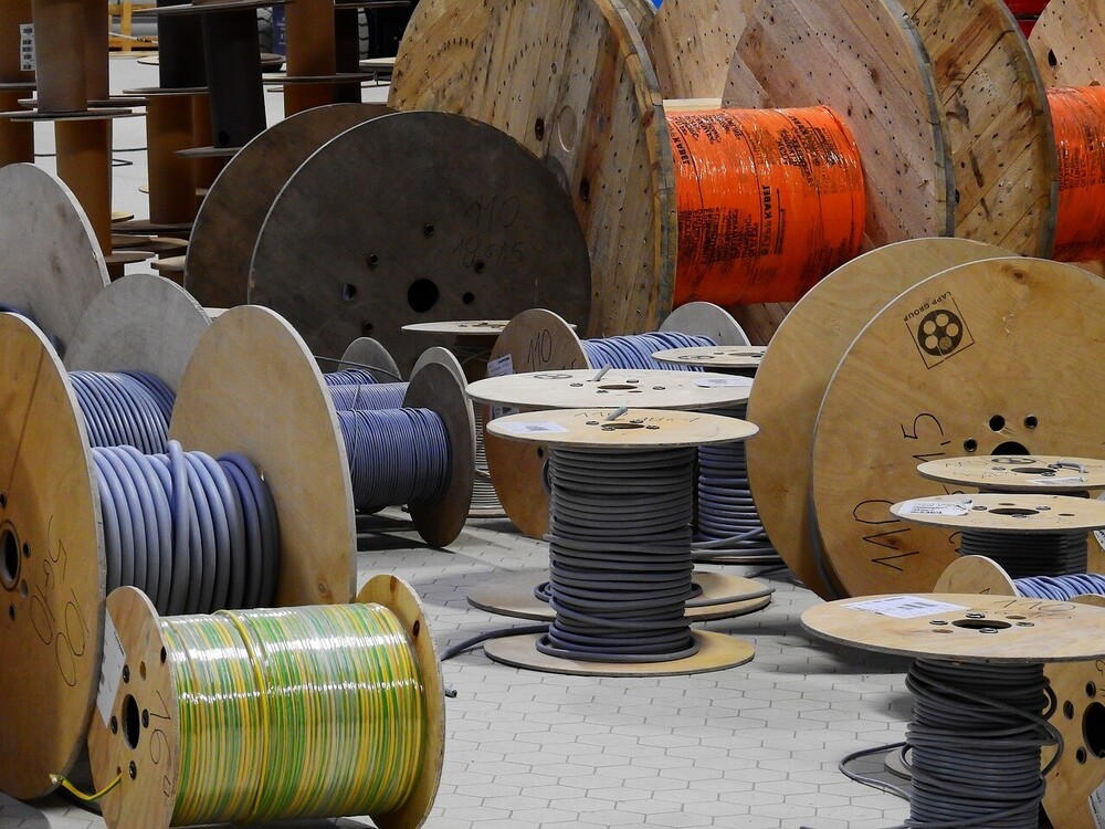
What Equipment is Used in Underground Utility Surveys?
Every underground utility survey we complete is unique. No two properties are ever the same. The type of soil plays an important role, it's frequency determines the depth penetration of radio waves, affecting the detail. Every survey differs based on location, which means the requirements vary considerably.
As mentioned above, we use state of the art equipment and tools to provide you with accurate underground utility surveys. The most common piece of equipment we use is a Ground Penetrating Radar that sends radio signals into the ground, providing an image of what lies below the surface. Our surveyor carefully moves an antenna or transducer over the ground that transmits radio pulses. Underground piping or wiring send a pulse signal back, which is stored in the unit. These signals display various bands, enabling our surveyors to understand a complete underground image. This is a cost effective way to see what lies below your property without having to do any intrusive research.
In some cases, we may have to use a Radio Frequency Cable Avoidance or a Signal Generator Tool. They help to locate cable services, ensuring you do not cause damage to buried utility lines and cables.
Conclusion
With more than twenty five years combined experience in the surveying industry, you can rely on MB Survey Solutions to map out any pipes, cables, gas lines, drainage systems or cavities located below your plot of land or property. It is a comprehensive and updated form of underground survey that helps you save time and money when it comes to your building project. Get in touch with our team today to see how we can assist you with your underground utility survey today.