


How can topographical surveys aid in flood risk assessments?
posted 14th October 2024
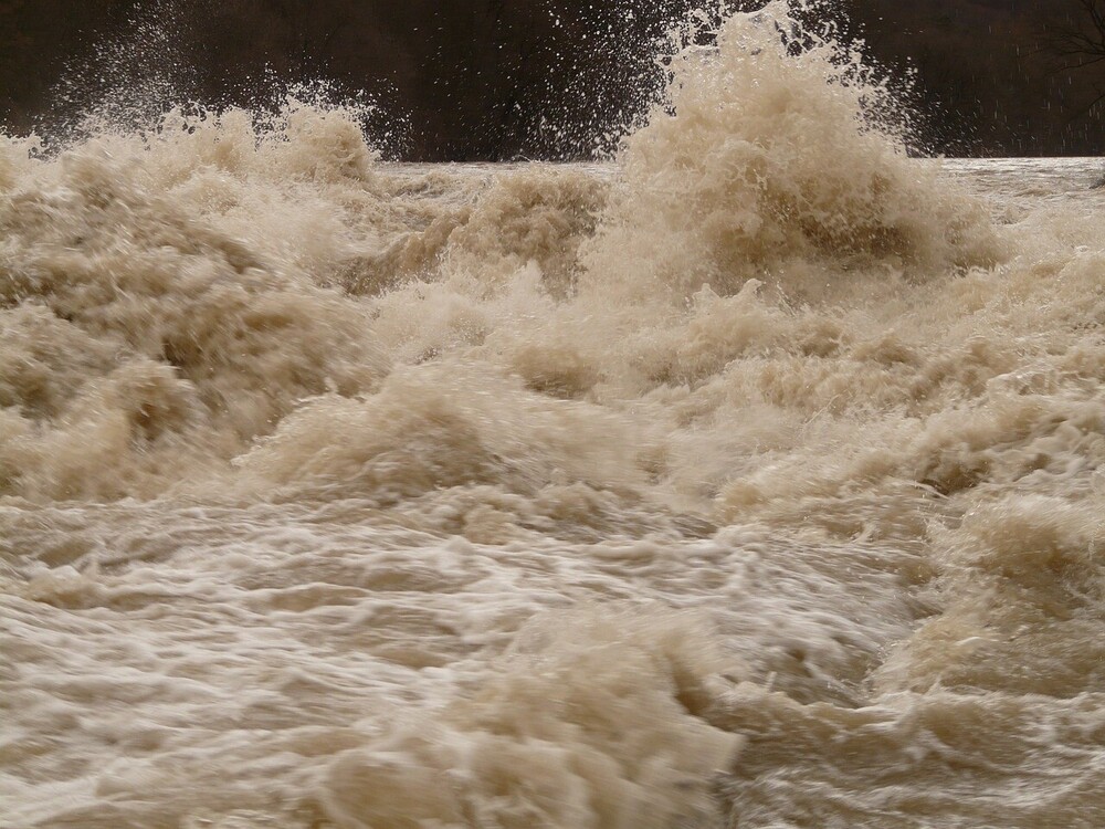
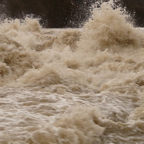
Floods are a devastating natural disaster that causes significant damage to properties, infrastructure, and in some cases, they are fatal. Thanks to climate change, we are experiencing extreme weather with an increased risk of flooding. Flood risk assessments have become important for property owners throughout the world, which is where our land surveying services come into play.
Topographical Surveys and Understanding Flood Risks
Topographical surveys are an important element of flood risk assessments. Defining the elevation of the area, along with any features, these surveys provide valuable data to identify floodplain boundaries, understanding water bodies during flood events, and identifying flood-ways. Topographical surveys are carried out using advanced equipment, including 3D laser scanners and total stations, which ensure accurate mapping of the topography of your land. With the data collected during the surveying process, engineers and planners can develop flood simulations, ensuring flood prediction intensity and extent.
Precise Elevation Measurements
We use Global Positioning System (GPS) and Global Navigation Satellite System (GNSS) to provide precise positioning. These systems provide us with the ability to collect elevation data with the highest levels of accuracy, enabling us to show flood prone areas on maps and models. Using this technology simplifies the process when tracking movement and velocity of flood waters in an event, helping with flood forecasting, along with any emergency response efforts.
Flood Risk Mapping
Light Detection and Ranging (LiDAR) technology has evolved considerably, become an important tool when it comes to flood risk assessment. This technology emits laser beams, measuring how long it takes for them to bounce back once they have made contact with an object. These offer high resolution elevation maps, with detailed information regarding the characteristics and topography of the plot of land or property. This is often used together with aerial surveys to provide accurate elevation models and flood extent maps, helping to identify flood prone areas.
Historical Records
Not all surveying work is completed on-site, it also involves a lot of office work. Historical records, in particular, are useful when it comes to topographical surveys and flood risk assessments. Analysing historical flood records and carrying out hydrological surveys provide insights into past flooding events, along with the magnitude of the floods. When you combine historical data with updated topographical surveys, we are able to identify flood prone areas, while tracking any changes to the flood patterns over a period of time. We can gather useful information such as rainfall patterns, river flow rates, and more, enhancing the accuracy of your flood risk assessment.
Real Time Monitoring
Remote sensing techniques have also evolved exponentially over the years, providing real time flood monitoring. Using satellite images, along with our advanced equipment, we can monitor water levels, river course changes, and flood extents. The data provides emergency responders and any decision makers with updated information, helping put evacuation plans in place, along with creating flood defence, and resource allocation.
Conclusion
Land surveying plays an important role in flood risk assessments, providing valuable and accurate data necessary to understand the flood dynamics, while putting effective mitigation strategies in place. Our topographical surveys are precise elevation measurements, which are combined with historical analysis. This helps property owners, communities, and governments to make informed decisions to reduce flood hazards and protect lives. Backed by more than twenty five years of combined experience, MB Survey Solutions, are able to provide you with accurate topographical surveys to assist in your flood risk assessment. Call us today to find out more.