


How can I use the data from a 3D laser scan?

posted 12th September 2024
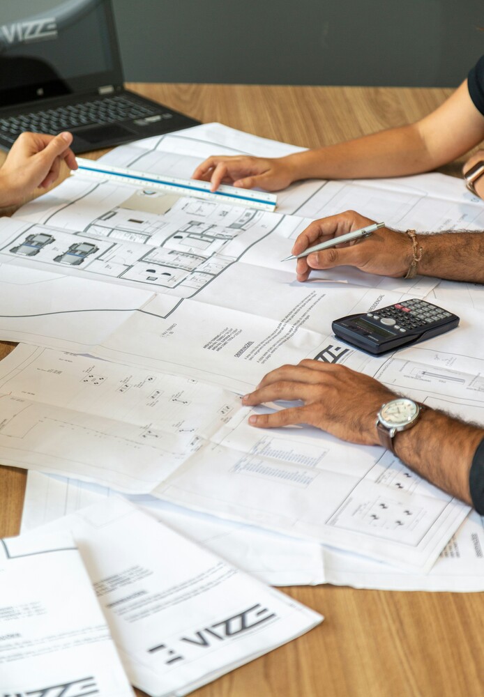
A 3D laser scanner is a fast and accurate way to capture the spatial detail of existing buildings and other structures. This technology uses a high definition laser scanner, capturing precise geometric data within the environment. We use it to take interior and exterior measurements during you chosen survey. This forms a point cloud, which we can then turn into a 3D model.
Our 3D models can then be used by architects, property developers, and construction design teams to plan and record changes to the environment, facilitating the building information model process.
LIDAR Technology
LIDAR (Light, Imaging, Detection, And Ranging) technology captures vast amounts of spatial data in a short period of time, saving time when it comes to your survey. 3D laser scanners use LIDAR technology, emitting a beam of energy and then calculating the x,y, and z coordinates for each point of physical contact.
These scanners can survey the interior or exterior of a building within seconds, capturing the precise location of any features. The data is then used to create accurate 2D plans or 3D digital models.
3D Point Cloud Survey
A point cloud groups the scanning data together, creating an accurate and comprehensive database, which is then used to create a digital 3D model of the buidling. This point cloud file can be shared with ease among the design team.
It provides a visual record of the building, and can include a walk through model, allowing accurate dimensional measurements. Architects and designers use point clouds as valuable reference tools throughout the construction project, eliminating the need for expensive return visits.
How Can I use the Data from a 3D Laser Scan?
3D laser scanning is used in pre-construction surveys, confirming existing site conditions, while being used as the basis for plans, models, and records throughout the building project.
In pre-construction, these scans are used to accurate record existing conditions within the building or the local environment. The point cloud generates 3D models and 2D building plans, where proposed changes are to be applied.
During the construction process, the 3D laser scans are used to check on the progress of the project, measured against the intended design. When you compare the site data with the proposed footprints, sections, and elevations, it improves the quality control process of the build.
Once the project is completed, the project manager can use the scans to verify the building matches the proposed design. A further laser survey can provide an as-built model, which can be used by management teams throughout the life of the building.
Overall, as you can see, 3D laser scans play an important role throughout the life of the building from the initial design and planning through to completion and ongoing maintenance.
Conclusion
We provide 3D laser scanning surveys throughout the United Kingdom, helping architects, developers, and designers deliver better building projects, thanks to the accurate data these scans provide.
How can we help you? We offer a complete range of surveying services including measured building surveys, as-built surveys, and topographical surveys. Get in touch with the MB Survey Solutions team today and let us help you get your building project off on the right foot.