


How 3D Scanning Can Simplify Property Extension Plans
posted 12th December 2024
3D scanning has become the most efficient way to record the current state of any property. This technology enables surveyors to create accurate as-built digital models quickly and effectively.
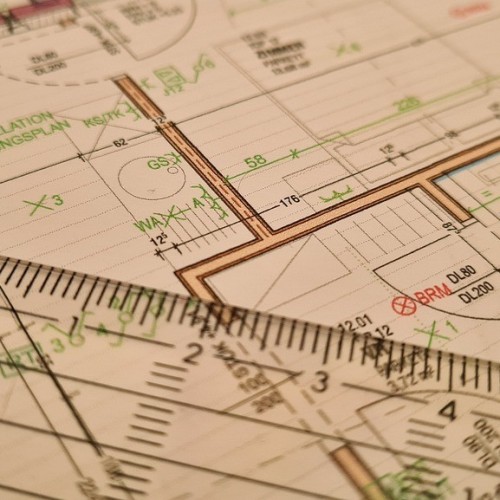
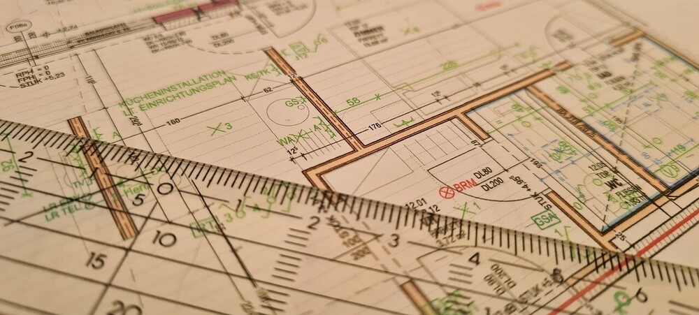
3D laser scanners collect millions of data points from your property, by processing a number of scan positions from various angles. The point cloud enables surveyors to create 2D drawings or 3D models, helping with the design process, along with the building process.
Improved Visualisation
Traditional surveying methods often failed to document complicated structures effectively. With 3D scanning, we are able to produce accurate and detailed information of the building environment, helping with decision-making, including the design of your new property extension. Being able to visualise the build helps architects create an extension that meets your needs, while helping you visualise the final design.
Collects Data Efficiently
Traditional surveying techniques needed time and resources, where 3D laser scanning reduces how much time is needed to carry out the site survey. These scanners can capture large volumes of data, including hard to reach areas and complex designs. This can speed up your project and save you money in the long run.
Improves Design and Planning
With the precise data provided by 3D scanners, your design and planning of your property extension with be simplified. Before any work starts, the architects and designers can use the digital models to find faults in their designs and identify any potential issues. This can boost project efficiency, reducing the risk of expensive modifications during your property extension process.
Eliminates the Risk of Conflicts
Property extensions can be tricky as there is always a risk you encroach on your neighbours property, which can result in a neighbour conflict, going as far as heading to court for resolution. With 3D laser scanning, you know where your boundaries are. This can reduce the risk of conflicts, enabling your property extension project to go ahead on time, without unexpected designs.
As-Built Documentation
An important part of quality control on any property extension is comparing the as-built data with the original design. 3D scanning confirms the precise alignment of the building structure, ensuring your project goes ahead based on specifications and regulations.
Save Time and Money
A major benefit of 3D scanning in property extension planning is that you can gather valuable information regarding your property site to reduce the risk of delays, rewords, and incorrect material orders. With the precise data provided from the initial design through to completion, your entire property extension is simplified and streamlined.
Conclusion
3D scanning has become a valuable tool in the surveying industry. With this advanced technology we are able to take accurate measurements that are used in property extension designs, ensuring that you maximise the space available, while reducing the risk of conflicts. Are you looking for a survey to ensure your property extension goes ahead as planned? Contact MB Survey Solutions today to find out more.