


What Equipment is Used for a Measured Building Survey?

posted 2nd July 2024
Surveying instruments assist in the accurate measurement of land, including horizontal and vertical distances. A surveyor is a professional contractor who acts as an advisor on the entire life cycle of a building, whether a new home or a shopping centre. Surveyors use their extensive knowledge and experience to provide guidance on the design, construction, maintenance, and repairs of buildings by identifying defects and making recommendations for repair.
Surveyors are also responsible for ensuring build projects comply with Building Regulations, along with safety standards.
Land Surveying
Land surveys are comprehensive studies of a piece of land, analysing data, producing a map that contains valuable information, assisting with planning, designing, and defining the boundaries of a property.
Quantity Surveying
Quantity surveying has extensive knowledge regarding the costs and contractual issues surrounding any construction project.
Topographical Surveying
This is the accurate mapping of land features, including contours, human made structures, and elevations. It is used to create a topographical map to be used in urban planning and engineering.
What Equipment is used in Measured Building Surveys?
A measured building survey can include a number of different equipment types, depending on the size and complexity of the survey being carried out. Equipment used for measured building surveys includes:
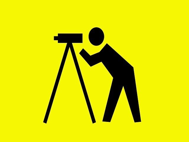
Total Stations
These are used to accurately measure angles, dimensions, and heights. They use angled measurements combined with electronic distance measuring (EDM) to determine any distances with precision and accuracy. They are valuable in producing floor plans and elevation drawings.
3D Laser Scanning
3D laser scanners are used to measure distance with outstanding accuracy. The lasers send out thousand of pulses a second. Each pulse leaves the scanner, bounces off an object, and returns to the scanner with the distance. These scanners enable surveyors to measure thousands of distances per second. The data collected is used to create floor plans, 3D maps, and more that are used as the first step in any construction project, whether it's adding an extension to your existing home or building a new office complex.
Theodolite
This useful tool is used to measure vertical and horizontal angles. It is held in position by a vertical axis on either side, enabling the surveyor to measure an objects angle on various axes. The digital screen shows the information with outstanding precision.
Drones
Some surveyors may introduce drones to reach hard to reach areas. These remote controlled drones can take aerial photographs with measuring capabilities, known as photogrammetry. The drones can hover and take pictures from various angles and viewpoints that would be challenging for surveyors to reach.
Measuring Wheels
Measuring wheels are going out of date, but some surveyors still use them as a backup to the other equipment that they use. Measuring wheels measure distances by counting the number of rotations to determine the distance travelled. Note these can be inaccurate, therefore they are often used in conjunction with more advanced technologies, such as 3D laser scanners.
Global Positioning Systems
Global Position Systems (GPS) is often used by surveyors to obtain the precise geographical coordinates of a building or piece of land, integrating them with the information collected using their other equipment. It helps to provide accurate local data, recording building locations, orientations, and more.
Conclusion
The equipment used in measured building surveys has improved and advanced over the past few yeas with surveyors now relying on modern technologies, such as 3D laser scanners, drones, and GPS to provide accurate information on the landscape and the building. It helps surveyors provide precise, comprehensive, and efficient measured building surveys.