


3D Laser Scanning: Revolutionising Surveying in London
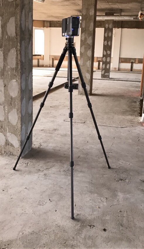
3D laser scanning has transformed the landscape of surveying, offering limitless possibilities. With our state-of-the-art 3D laser scanner surveying in London, we capture more information in less time than traditional methods. These innovative instruments collect millions of individual points on site with just the push of a button, making 3D laser scanning a game-changer in the field.
While the technology is advanced, the knowledge and application of traditional land surveying disciplines remain essential to delivering an accurate end product. Our team of expert surveyors in London utilizes the latest software techniques to process the data collected from 3D laser scanning. This process results in the creation of a detailed point cloud.
This point cloud, a 3D shape formed by the millions of data points captured by the scanners, is meticulously pieced together. It can be thoroughly analyzed in AutoCAD, allowing for the creation of precisely drawn 2D plans. The abundance of data available from our 3D laser scanning process in London ensures that we can provide clients with clear, detailed representations of their projects, tailored to their specific needs.